Storm Boelo Disrupts Northern Travel and Tests Grid Resilience
Severe winds and heavy rain are causing widespread delays and power issues, highlighting the financial and logistical costs of bad weather in the UK.
By Layla Edwards ·
The United Kingdom is experiencing a second named storm this season, bringing significant economic and logistical challenges to the north. This weather event is testing infrastructure and disrupting travel networks at a critical time.
Amber weather warnings, the second most severe level, took effect on Saturday evening. These alerts covered mainland Scotland, the far north of England down to Carlisle, and the north-east of Northern Ireland. The Met Office forecasts that gusts will peak from Saturday night through Sunday, with widespread speeds of 60 to 70mph. Exposed coastal areas may see winds reach 80mph, posing risks to transport and property.
The storm has already triggered measurable impacts on the power grid and rainfall levels. Before the amber warnings fully activated, gusts of 75mph were recorded in the Western Isles and Highland regions. The National Grid reported restoring power to over 131,000 properties in south-west England by 7pm on Saturday, following the previous system, Storm Austen. Rainfall has also been substantial, with White Barrow in Wiltshire recording 72mm of rain since 8am on Saturday.
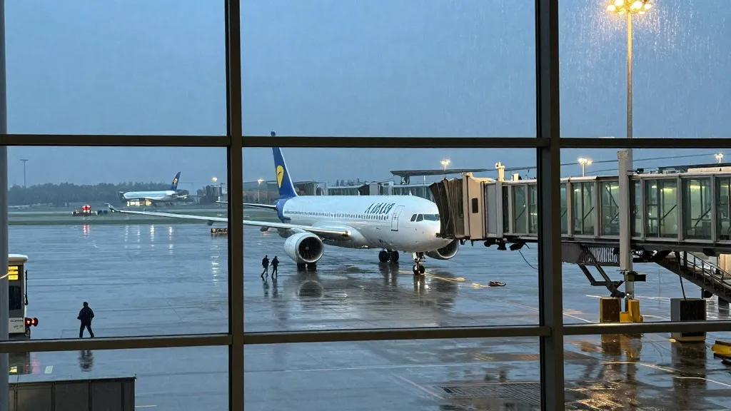
Transport and leisure sectors are bearing the brunt of the disruption. Dublin airport cancelled nine outbound and ten inbound flights by 4pm on Saturday, with six inbound flights performing go-arounds. Network Rail issued warnings to residents to secure garden furniture after sharing images of loose items near tracks. In the leisure industry, Visit Liverpool cancelled the River of Light event, and Edinburgh Castle closed on Sunday. The Diwali on the Square celebrations in London were also called off for safety.
This is the second named storm of the season, following Storm Austen, which hit on Friday. That earlier system recorded 76mph gusts at St Mary’s airport in the Isles of Scilly. The current system is bringing additional strain on resources, with the Environment Agency issuing 58 alerts for possible flooding in England and 12 warnings for expected flooding by 8pm on Saturday. These alerts indicate a high likelihood of localized damage that may require further investment in repairs.
Met Office chief forecaster Jason Kelly advised the public to stay indoors and secure loose items to minimize damage. He noted that the strongest winds and greatest potential for disruption are occurring in the north. The forecast suggests that the worst of the conditions will persist through Sunday, requiring businesses and individuals to plan for potential delays and operational changes.
The outlook remains focused on the northern regions, where the impact is most acute. As the storm system moves through, attention will turn to the cost of repairs and the speed at which services can restore normal operations. The interplay between weather patterns and infrastructure resilience is a key factor in determining the economic impact of these events.
Source: The Guardian
More Business · World news · Business Watchdog · Report a business · Got a Story?