Storm Boelo Targets Northern Britain
A second named storm of the season brings high winds and rain to the north, threatening transport and power supplies.
By John Wilson ·
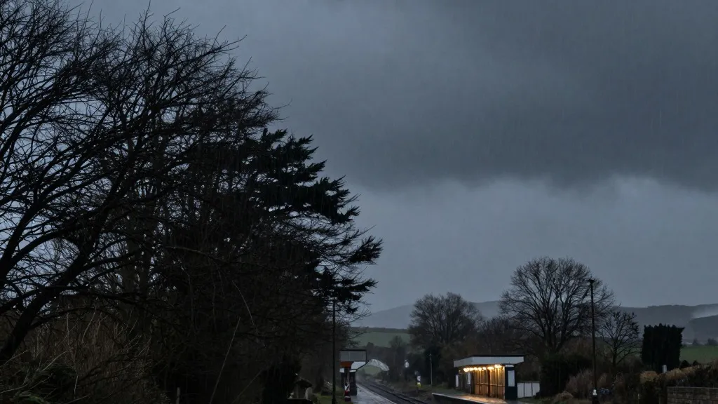
The northern United Kingdom faces a fresh test of resilience as Storm Boelo approaches with potentially damaging gusts. This marks the second named storm of the current season and arrives with significant force.
Forecasts indicate that Boelo will deliver heavy and frequent showers to the north of the country. Winds are expected to exceed 80 miles per hour during the event. This system follows closely on the heels of Storm Austen, which struck the south-west of England on Friday. That earlier storm is now moving eastward and clearing the region.
The Met Office has issued an amber warning for Scotland and the northern areas of England down to Carlisle. This alert remains in effect from 9pm on Saturday until 9pm on Sunday. A distinct amber warning covers the north-east of Northern Ireland from 9pm on Saturday to 10am on Sunday. Officials have advised the public to remain indoors to the extent possible. They cited the specific danger posed by flying debris and crashing waves. A broader yellow warning for wet and windy conditions covers the entire northern UK from midday Saturday to 9pm Sunday. Additionally, a heavy rain warning applies to Wales and parts of western and southern England from 11am to 11pm on Saturday.
Travelers should anticipate significant interruptions to both ferry and train services. TransPennine Express has recommended that passengers avoid all but essential journeys during the weekend. Avanti West Coast has issued a strong urging for riders not to travel north of Preston on Sunday. The meteorological service also warned that the power outages seen in the south-west could recur in the northern amber zones. At peak times on Friday, 31,000 homes in the south-west were without electricity. By Saturday morning, more than 3,700 homes in that region remained without power.
Alex Burkill, a meteorologist with the Met Office, identified the winds as the primary concern. He noted that strong gusty winds would affect Northern Ireland, northern England, and Scotland throughout the day, strengthening toward the evening. While temperatures will sit slightly above the seasonal average, the combination of wind and rain will make conditions feel unpleasant. This weather pattern offers a stark contrast to the rest of the autumn season. Winds are projected to peak from Saturday evening, with wet weather clearing overnight in many areas, though rain will persist in Scotland and Northern Ireland.
This storm arrives after a year characterized by extreme weather events. The UK recently recorded its hottest summer on record, featuring five heatwaves and 40 days exceeding 30C. At a recent summit discussing the summer wildfires, Prime Minister Andy Burnham warned that the nation could face a winter of greater flooding. He stated that the government is not playing catch-up on civil preparedness but acknowledged that unexpected events are becoming increasingly common.
The peak of Boelo’s impact is expected to pass by Sunday evening, allowing for a gradual recovery in transport and power infrastructure across the affected regions.
Source: The Guardian